Project finished on February 2017 – Final reports available now
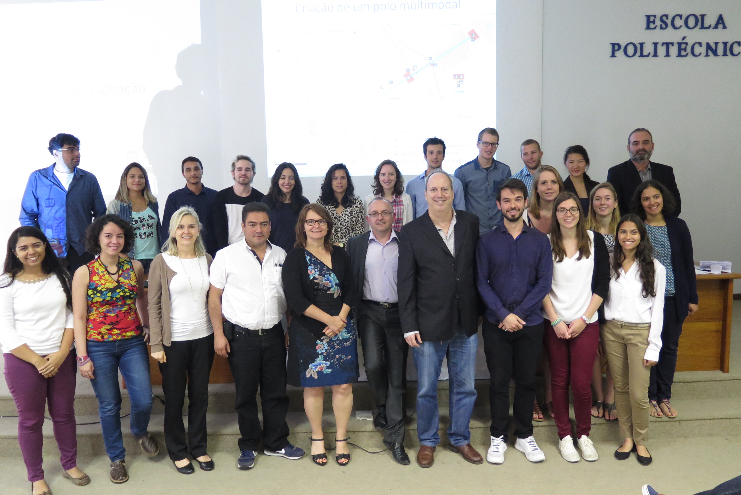
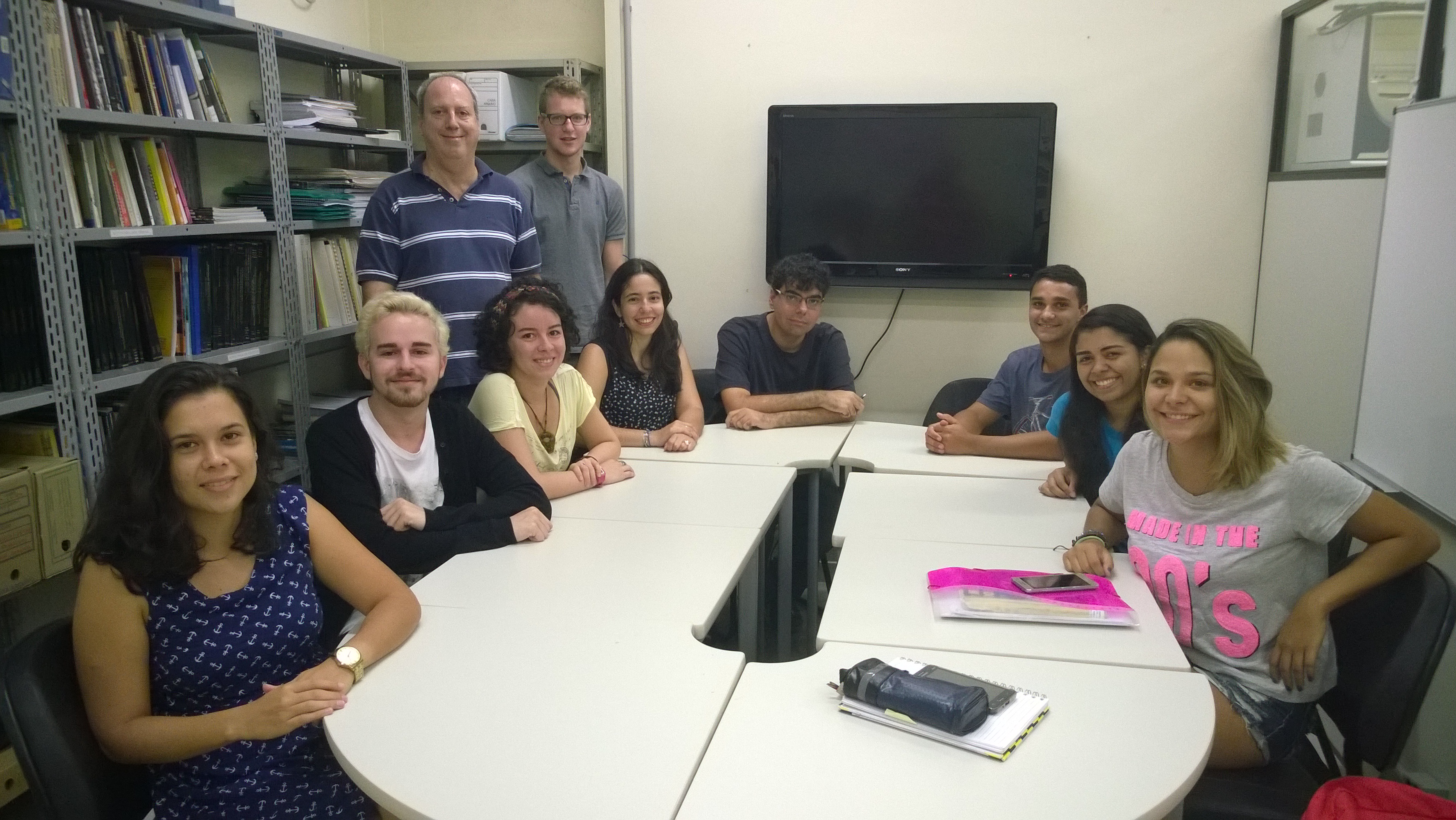
After the June results presentation on Compiègne and Rio de Janeiro (photo) the team finished the reports and they are now available at this site, on portuguese and french versions.
Head from Metropolitan Chamber of Rio de Janeiro gives lecture at AIM 2016 Rio presentation (27/06/2016)
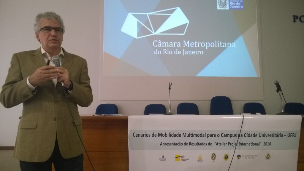
Closing the 27th June Rio AIM presentation, Vicente de Paula Loureiro, the Executive Director from “Câmara Metropolitana do Rio de Janeiro” gives a lecture about the mission and perspectives from his agency on Metropolitan Region management and development.
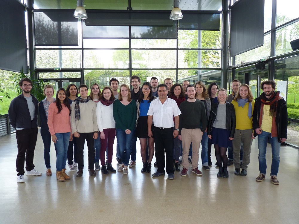
UTC students presents results from AIM 2016 at Compiègne (15/06/2016)
The UTC team presented on 15th June the results of Atelier Projet at GSU/UTC, next presentation will occur at Rio de Janeiro on 27th June at Centro de Tecnologia/UFRJ, room D-220.
UTC team
The UTC team is composed by 22 students – 2 of them are brazilian – and 3 coordinators
- French students : Floriane Chaplain, Rémi Coblence, Louis Desirant, Amandine Hu, Agathe Duriez, Sebastien Eme, Thomas Erussard, Anton Finke, Ophélie Tison, Cécile Kersuzan, Julien Larrieu, Marjorie Ludet, Fanny Thuet, Nevil Quentric, Anaïs Olivier, Cécile Némorin, Pierre-Alexandre Rieux-Val, Sophie Kapell, Noémie Picinbono, Romain Schini
- Brazilian students : Elisa Dealmeida, Rafael Lopes-Witiuk
- Coordinators : Gilles Morel, Nathalie Molines, Hipolito Martell
UFRJ team with new participation
POLI/UFRJ Civil Engineering undergraduate students joined the AIM project since March, 2016. The UFRJ team is now composed by 9 students – 1 of them is french – and 1 coordinator.
- Brazilian students : Maria Livia Real de Almeida, Raphael Coelho, Marco Vinicius Santos, Nathália Marques de Souza, Ana Paula Nascimento Menezes, Vitor Rezende da Silva, Maria Gabriela Nascimento Paixão, Manuela Honoria de Sena
- French Student : Alexis Lenoir
- Coordinator : Fernando Rodrigues Lima
UFRJ’s campus mayor approves the project frame
On the 30th of september, Hipolito Martel (UTC), Louis Charaf (UTC), Lino Marujo (UFRJ/MIT), Fernando Lima (UFRJ) and Paulo Ripper (Mayor UFRJ) were meeting together to validate the guidelines of the AIM project. Paulo Ripper approved the project orientations and goals. He remind the team that his priority is to optimize mobility without loosing quality. As the actual financial condition of the UFRJ is very concerning due to budget cut from the brazilian government, the mayor expect from the AIM study to provide the university measures to save on the mobility budget without impacting on the user experience.
Hipolito Martel and Nathalie Molines on mission at UFRJ (Feb/2016)
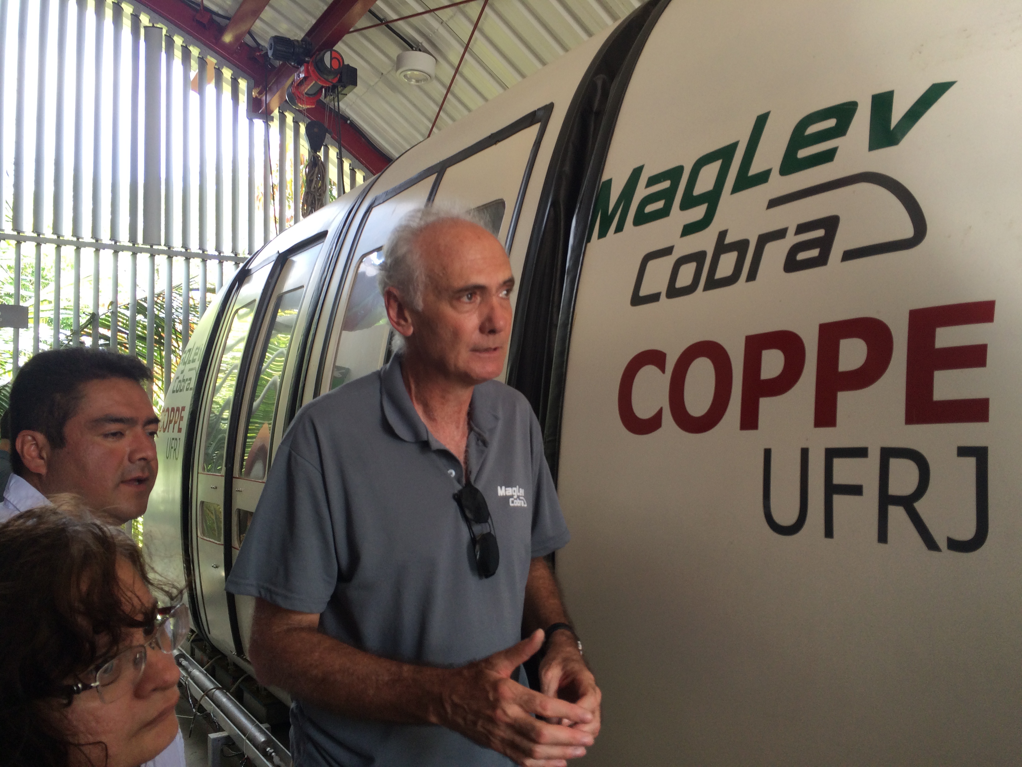
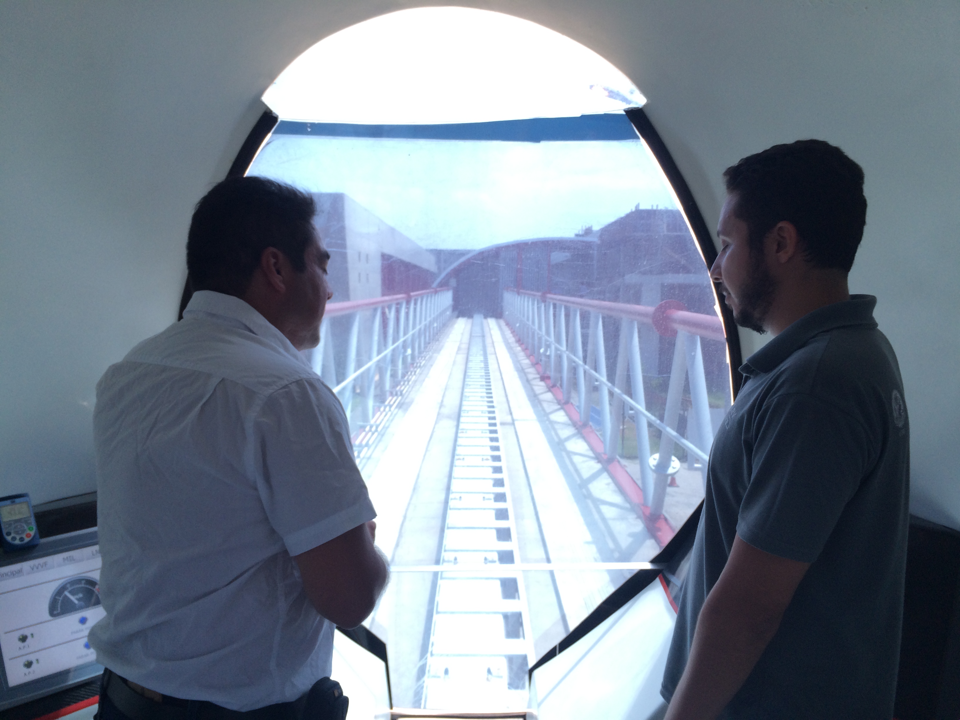
Hipolito and Nathalie (UTC) on mission at UFRJ on February 2016, visiting Fernando Lima SIGEurb Lab at PEU/POLI/UFRJ (left), being received by Richard Stephan, the MAGLEV researcher and developer (center) and on a ride at the prototype on campus (right). The MAGLEV was entirely concept and constructed with UFRJ Labs technology, and will be on future an innovative option to urban mobility. The current prototype can carry up to 20 passengers on a 500 meters elevated pathway, linking 2 buildings of Technology Center. Next step is to implement MAGLEV for campus internal transportation, connecting both extremes of the island.
Not only hard work…… (jan/2016)
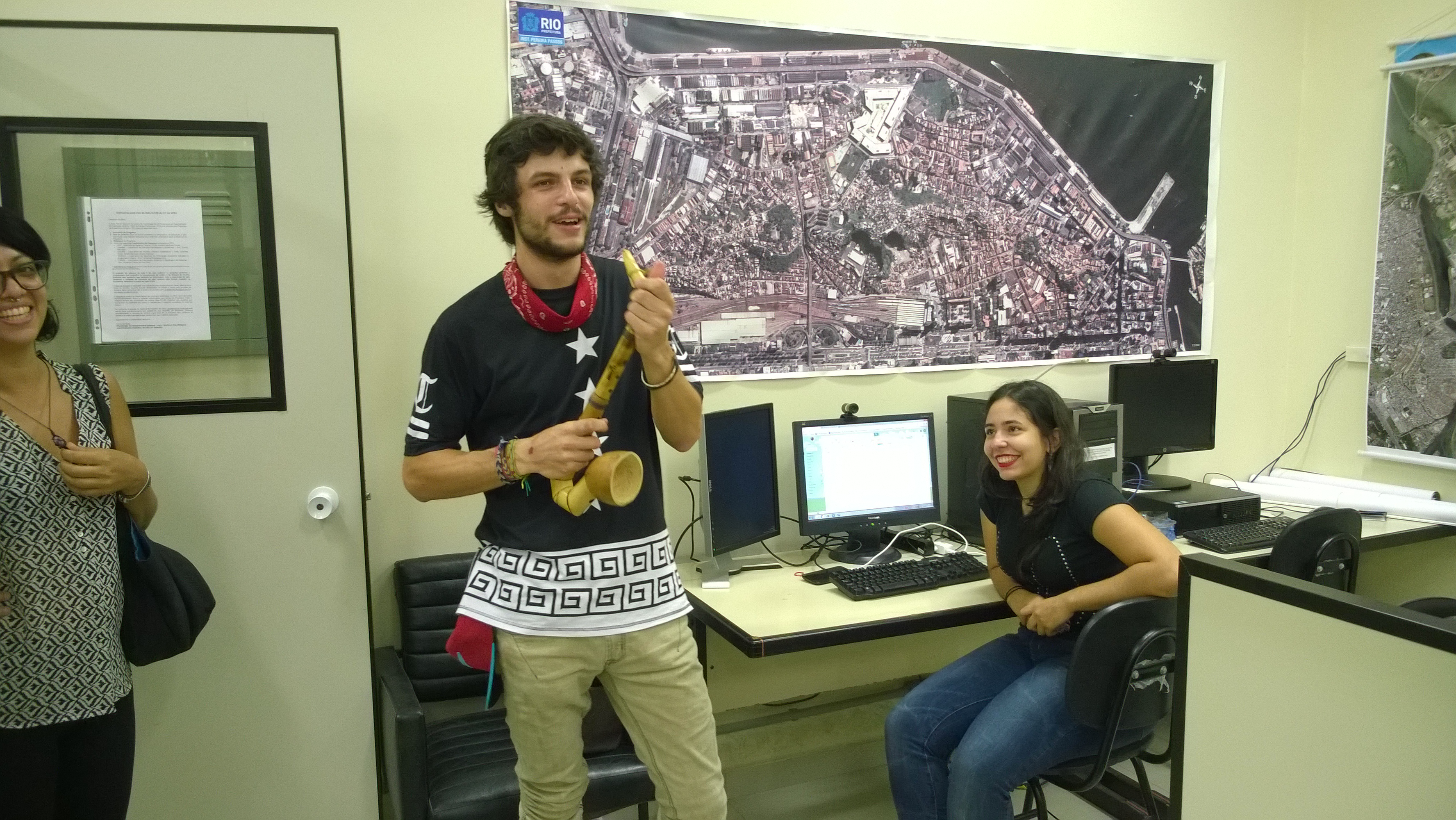
After a 6 month stage preparing AIM on 2015 UTC student Louis Charaf performs at his farewell a jam section with his bamboo sax on PEU/POLI/UFRJ labs. The UFRJ team was committed with the project since beginning of 2015, and Louis was an important linkage between UFRJ and UTC, producing with Fabio Krykhtine (LabFUzzy/COPPE/UFRJ) a video with testimonies and interviews about campus mobility. Now his hole is performed by UTC student Alexis Lenoir.
Hipolito Martel was giving a lecture at the UrbanTec congress in Rio de Janeiro (nov/2015)
Member of the AIM team, Hipolito Martel was invited to deliver a lecture for the UrbanTec congress which was organised from 30/09 to 02/10. As a transport and logistic specialist, he took part of the session – Best practice of smart mobility : using technology to integrate infrastructure, vehicles and users -, presenting a french case he had worked on. Were present city related experts from all over the world and the event was a good oportunity to discuss the AIM project. Interested by the ambitions of AIM and as a urban and transport specialist, professor Dirk Vallée, from Aachen Germany, entered in a closer discussion group.
RATP partner is interested in multimodal network modelling
On the 9th of september, Vincent Leblond (RATP), Gilles Morel (UTC), Hipolito Martell-Flores (UTC) were gathering in Paris to discuss the AIM project. The RATP representative insisted on their interest in multimodal and multi-criterions network modeling. They will keep collaborating on this component with the AIM team to create inovatives solutions to assess urban mobility.
The RATP could also be providing a pilot site in the Greater Paris for a futur study.
Meeting key partners and defining the Atelier-Projet frame
During the month of august 2015, part of the AIM team was in Rio de Janeiro to pre-diagnostic the needs of the UFRJ’s campus in terms of mobility, and to meet the local experts and public decision-makers. As a result, first guidelines were defined and the project now count with the support of the mayor and vice-mayor of the campus, as well as several experts in urban mobility from the Transport Engineering Program (PET) of the UFRJ.
Find down here the sum up of our pre-diagnostic and how it influences the project planification.
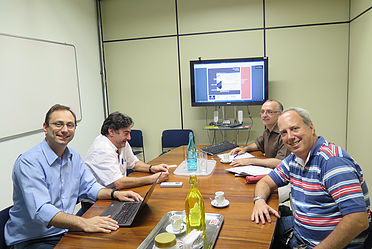
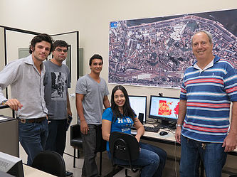
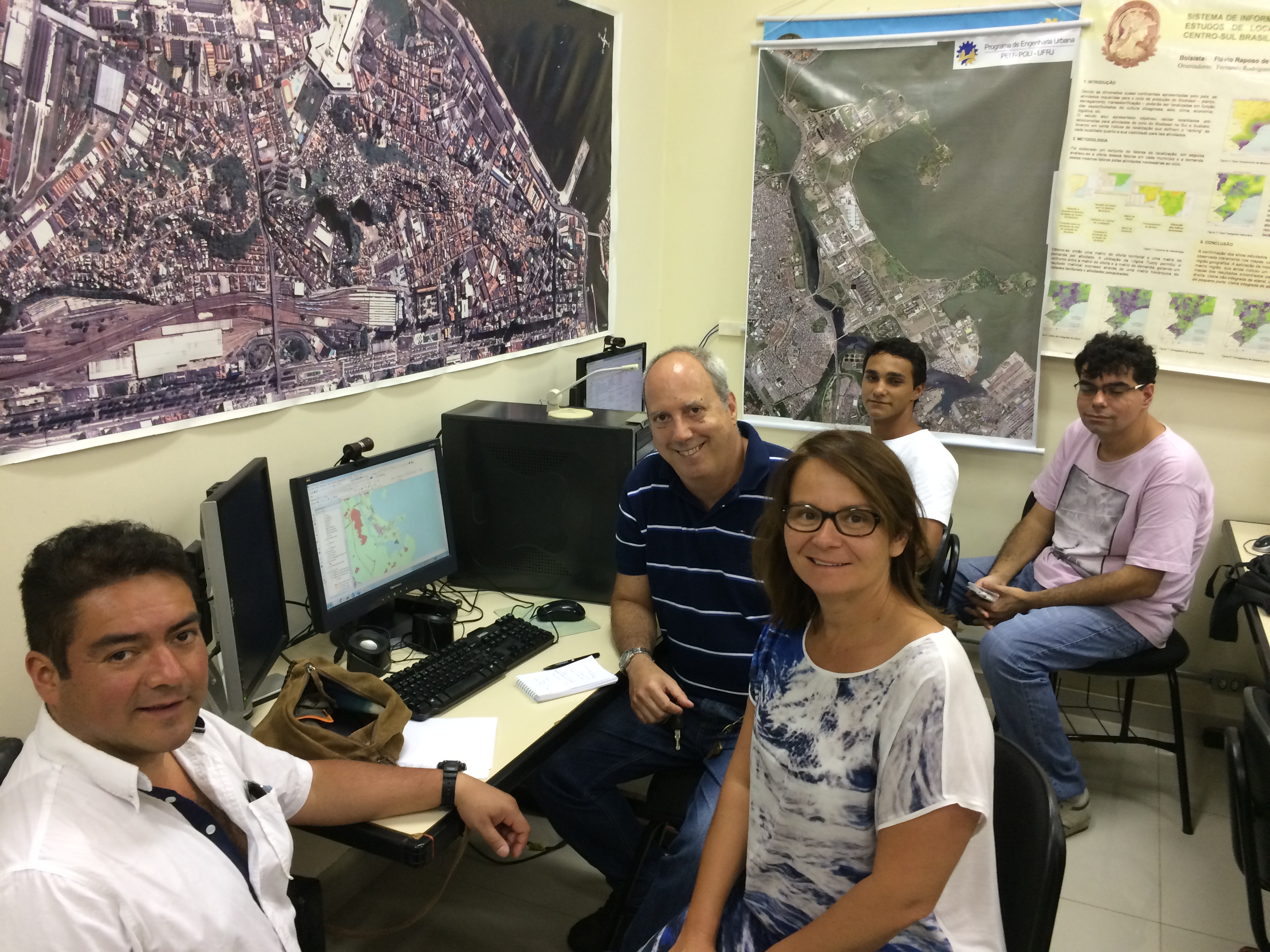
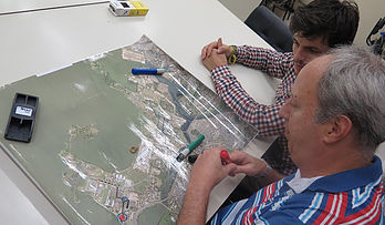
Image on the left : From the left to the right, Lino Marujo (PET COPPE/UFRJ & MegaCityLab MIT), Carlos Nassi (PET COPPE/UFRJ), Gilles Morel (GSU UTC), Fernando Lima (PEU POLI/UFRJ) – Presentation of the AIM project
Image on the right : From the left to the right, Louis Charaf (UTC student), Vinicius Silva, Raphael Coelho, Livia Almeida (UFRJ students), Fernando Lima – Working on network modeling and data implementation
Background and issues
The Federal University of Rio de Janeiro (UFRJ)’s main campus is actually a small town run by an elected mayor. It is located on an island/peninsula (Ilha do Fundao). The campus land-use includes university areas, but also a technology park (home to some large companies, a military zone, a residential area and some undeveloped areas and areas of wasteland.
Several tens of thousands of users travel to, from and within this zone on a daily basis, which generates extensive traffic jams, difficulties and dissatisfaction. These problems are due not only to factors related to the way journeys are organized on campus but also to interactions with the metropolitan transport network and its flows. In fact, the peninsula network is not only used by UFRJ users but also serves as a convenient “diversion” for the adjacent localities and flows to and from the international airport.
The UFRJ town council’s top priority is to reorganize and optimize on-campus transport by bus and its on-campus and external interconnections. The currently identified problems concern both the on-campus management of the bus routes (the actual needs and the choice of stops) and the coordination between buses and passenger flows at the metropolitan network’s terminus. However, it appears that a multimodal approach to campus mobility is essential, given the wide range of needs and potential measures. Furthermore, private cars and buses not only cause traffic jams but also saturate the car parks; this point should be taken into account in any overall solution.
The overall goal of the student workshop (February–June 2016)
The international student workshop (organized as part of Sorbonne Universities’ AIM project) will:
-
perform a systematic diagnostic analysis of on-campus mobility and access to the campus from the rest of the city.
-
develop possible solutions and scenarios for improving on-campus mobility and interconnections with the metropolitan network.
-
provide decision-makers with evaluation tools, comparisons of these scenarios and decision support, based on a multimodal, sustainable approach.
 Will be studied the links between changes in mobility and other major aspects of sustainable development: notably the energy transition, environmental quality and resilience with regard to natural and anthropogenic hazards. The criteria for evaluating and choosing the best solutions will have to consider current and predicted data on mobility flows and direct indicators of performance (travel cost and time), quality, comfort and user risks (social acceptability).
Preparatory work on the data and models thus appears to be essential before deciding on the student workshop’s precise objectives.
Preparatory work and feasibility studies on the data, models and tools (August 2015 – January 2016)
The data
The data required for the study and a possible model have already been relatively well defined. This will include spatial and topological data (buildings, networks and interconnections) and temporal data (flows of people and vehicles). The spatial data are already being collected and structured (using ArcGIS) by UFRJ students supervised by Professor Fernando Lima. Systemic and topological links will have to be specified as part of the discussion on modelling. The data on flows are more difficult to acquire; nevertheless, three major sources have been identified and are being studied:
1. Data from mobility surveys: a questionnaire has been designed by UFRJ students and a panel of users will be surveyed in the weeks to come. The survey results will be used in the student workshop.
2. Data from previous studies (primarily from Rio City Council and the UFRJ/COPPE working group on transportation). Students at the UFRJ and the UTC have started to investigate these data with the stakeholders.
3. “Big data” that can be extracted from information sent by geolocalized smartphones. Various options can be envisaged, although this solution appears to be somewhat limited on the campus perimeter, which has poor mobile network coverage.
The preparation phase must include a review of (i) the data likely to be exploited in the student workshop, and (ii) fall-back solutions for dealing with missing data. The data could be classified by type and by level of importance (e.g. as in the data catalogue linked to the “evacuation” method developed at the UTC in 2011).
The models
With a view to introducing innovation and research components, the AIM project is striving to develop or adapt a model for evaluating systemic, sustainable approaches to multimodal mobility scenarios. We have started to review the state-of-the-art for models and tools, although there appear to be few available multimodal, muticriterion models for performing precise simulations. After the development of a conceptual model, the latter will be implemented (in full or in part) in a software environment (the prototype). The UTC and the UFRJ have started to discuss the model. It should at least have the following features:
1. A topological model representing the multimodal network and its mobility characteristics. We have started to analyse the types of interconnection nodes, on the basis of a local survey.
2. A dynamic (flow-based) model linked to the topological model and that enables simulations to be run (probably using a simplified model in the initial version).
3. Layers of geo-referenced data for linking other criteria (environmental, societal and risk factors) to mobility.
The digital tools
The ArcGIS platform has been chosen as the core tool for data structuring. It will be used to underpin our analysis of mobility scenarios (ideally by integrating a dynamic simulation model). Other tools (notably Google Apps) could be used around ArcGIS to manage documents and simplified maps. It should be feasible to provide the “data” and “scenario analysis” components of the project (level one) after 12 months. The “models and simulation” component will require a more in-depth feasibility study than suggested here for the preparatory phase. The ArcGIS “Network Analyst” module will be used to represent the (current and future) mobility network as a georeferenced graphic, enabling systemic analysis and simulations (the nature and the level of complexity of which will be specified by the end of 2015). If it turns out that a dynamic simulation model is too far away, we could nevertheless envisage a less complex alternative for the analysis and evaluation of solutions represented as a multimodal network. The development of a multimodal conceptual model would also constitute a very interesting deliverable per se for the project, and full implementation of the model could be envisaged in several stages if this task turns out to be complex.